The Most Famous
GEOGRAPHERS from Türkiye

This page contains a list of the greatest Turkish Geographers. The pantheon dataset contains 86 Geographers, 4 of which were born in Türkiye. This makes Türkiye the birth place of the 6th most number of Geographers behind United States, and Spain.
Top 4
The following people are considered by Pantheon to be the most legendary Turkish Geographers of all time. This list of famous Turkish Geographers is sorted by HPI (Historical Popularity Index), a metric that aggregates information on a biography's online popularity.
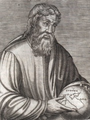
1. Strabo (64 BC - 23)
With an HPI of 84.37, Strabo is the most famous Turkish Geographer. His biography has been translated into 93 different languages on wikipedia.
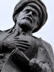
2. Piri Reis (1470 - 1554)
With an HPI of 76.77, Piri Reis is the 2nd most famous Turkish Geographer. His biography has been translated into 58 different languages.
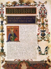
3. Pausanias (110 - 180)
With an HPI of 76.58, Pausanias is the 3rd most famous Turkish Geographer. His biography has been translated into 53 different languages.
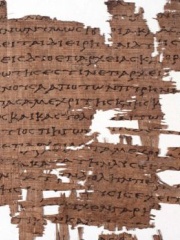
4. Artemidorus Ephesius (150 BC - 100 BC)
With an HPI of 63.57, Artemidorus Ephesius is the 4th most famous Turkish Geographer. His biography has been translated into 19 different languages.
People
Pantheon has 4 people classified as Turkish geographers born between 150 BC and 1470. Of these 4, none of them are still alive today. The most famous deceased Turkish geographers include Strabo, Piri Reis, and Pausanias.
Deceased Turkish Geographers
Go to all RankingsStrabo
64 BC - 23
HPI: 84.37
Piri Reis
1470 - 1554
HPI: 76.77
Pausanias
110 - 180
HPI: 76.58
Artemidorus Ephesius
150 BC - 100 BC
HPI: 63.57